

DroneDeploy
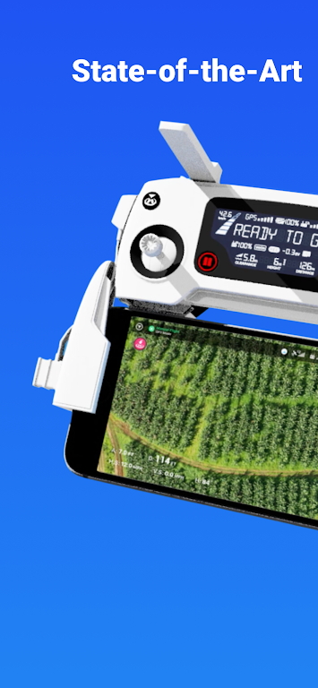
DroneDeploy is a cloud-based software platform for commercial drones. The app enables users to plan and execute automated flights, collect aerial data, and access interactive maps and high-resolution 3D models directly from mobile devices. It supports compatibility with many DJI drone models and integrates with a range of third-party add-ons.
Features
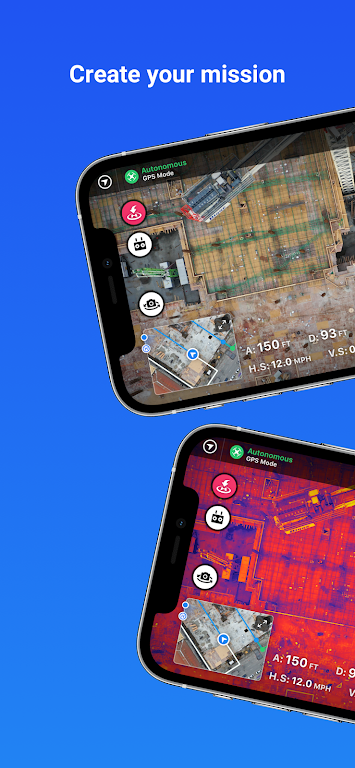
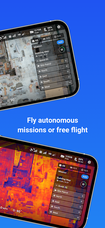
Automated flight planning and data capture: Plan missions and run automated flights to capture consistent aerial data, reducing field time and simplifying data collection.
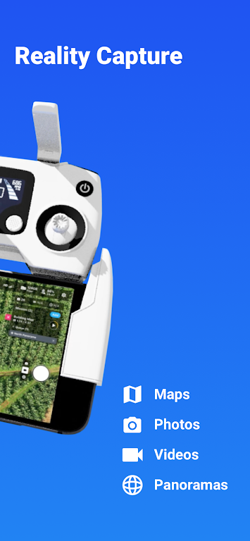
Interactive maps and 3D models: View, explore, and share interactive orthomosaic maps and detailed 3D reconstructions from your mobile device.
Efficient image processing: Fast image processing produces accurate maps and 3D models for analysis and reporting.
Extensible integrations: Extend functionality with more than 80 add-ons and integrations to support industry-specific workflows.
Designed for both beginners and professionals: Automated mapping workflows and collaborative review tools support teams across construction, solar, agriculture, surveying, and mining.
Collaborative analysis: Review maps, add comments, and share results with stakeholders to support decision-making in the field.
Phân loại: Công cụ Nhà phát hành: DroneDeploy Kích thước tập tin: 98.50M Ngôn ngữ: Việt Nam Yêu cầu: Android Gói ứng dụng ID: com.dronedeploy.beta
Đề xuất